Product Description
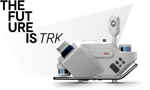
Introducing the new Pegasus TRK range of Mobile Mapping Solutions
AUTONOMOUS : INTELLIGENT : SIMPLIFIED
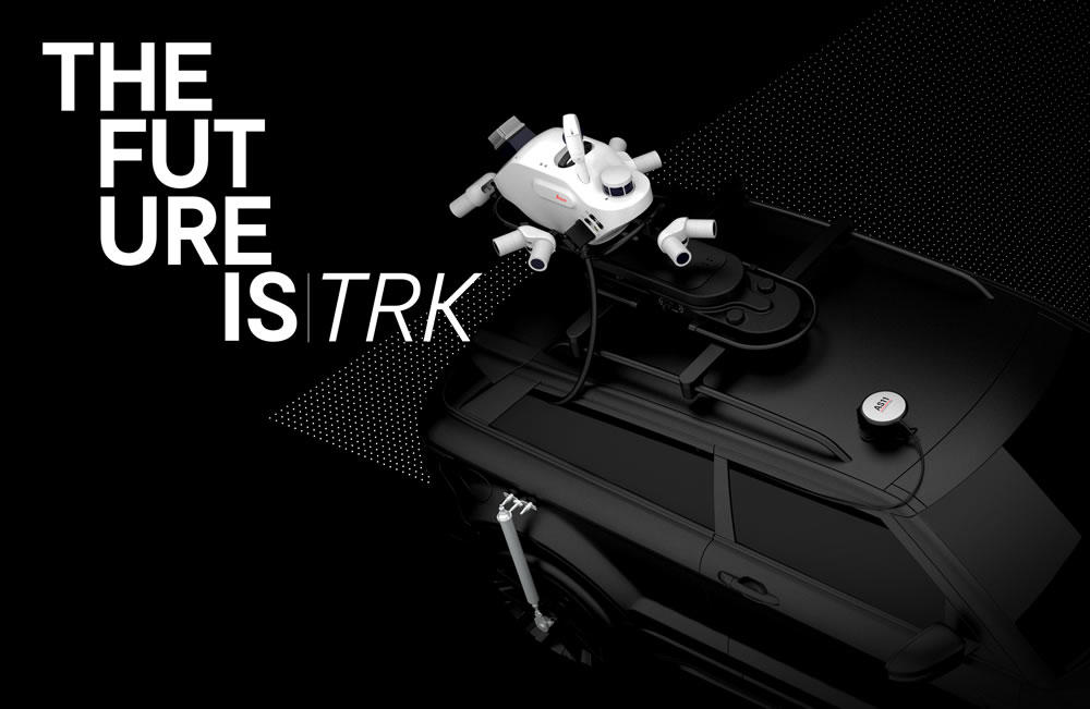
The Leica Pegasus TRK solution uses artificial intelligence capabilities to transform mobile mapping. The advanced dynamic laser scanning and expandable imagery system for recording, measuring and visualizing environments increases productivity with automated, intelligent workflows. The Pegasus TRK is so light that it can be operated by one person, making mapping projects more efficient and cost-effective.
Because of the system’s user-friendliness, it is suitable for professionals who are new to the technology. At the same time, its reliable, high-quality deliverables serve the needs of technical experts in various industries, including surveying, transportation, and utilities. The Pegasus TRK solution features an AI-enhanced camera and automatic camera calibration. To comply with privacy regulations, its AI can identify and blur identifiers, such as people and vehicles, in real time.
The Pegasus TRK solution enables long-range mobile mapping for applications in asset management; road construction; rail and critical infrastructure; oil, gas, and electricity industries and more. The system is also ideal for creating high-definition base maps for autonomous vehicles.
The Pegasus TRK connects with the new powerful Leica Pegasus FIELD software for fully autonomous and secure data collection and route planning in the field. It also connects with the Leica Cyclone Pegasus OFFICE for seamless input into post-processing and publishing workflows.
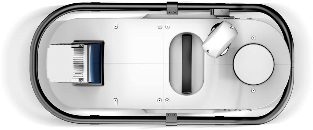
Leica Pegasus TRK500 Neo
Single scanner with 500,000 measurements per second
Single line point cloud pattern
Weight 18kg
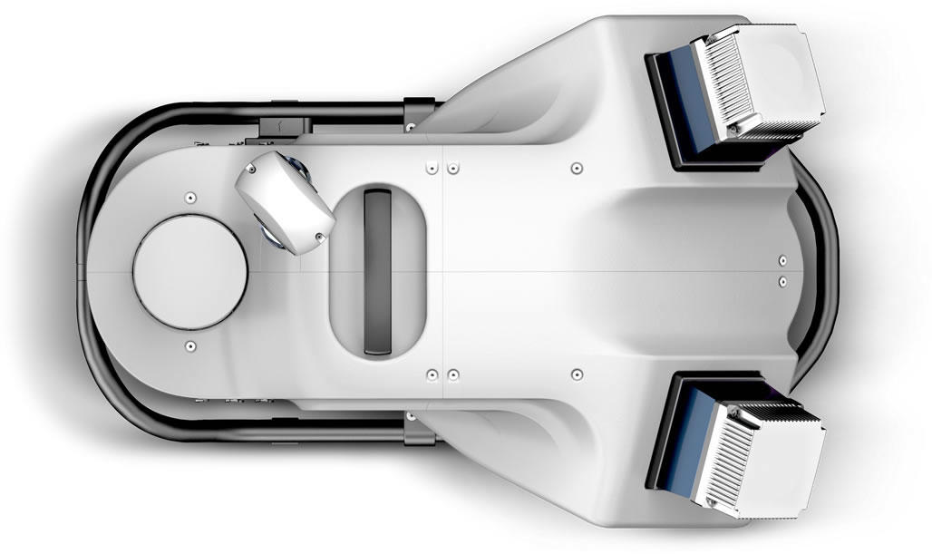
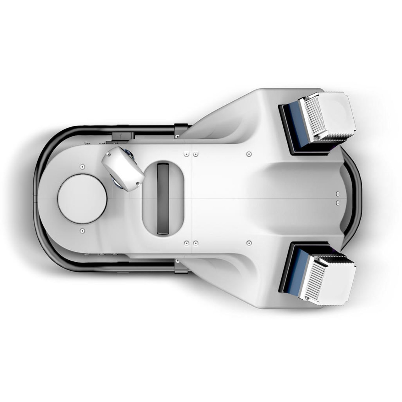
Leica Pegasus TRK700 Neo
Dual scanner with 1,000,000 measurements per second
Crossed line point cloud pattern
Weight 23kg
Leica Pegasus TRK - Imaging Solution
Expand And Go. More Details. More Possibilities.
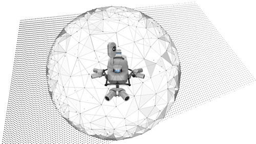
Fully integrated modular imaging system allows you to add more cameras, for more angles, more detail and more possibilities. Automatic camera calibration simplifies and streamlines system set up so you can expand and go. Collecting at up to 8 frames per second, no detail is missed.
Bring Images And Data To Life
SmartFusion camera system with up to 120MP integral view. Boosted with add-on front, side and rear pavement cameras, the Pegasus TRK is expandable with a click. The additional cameras multiply the resolution, creating the same level of detail as a 156MP spherical camera.
See High Or See Wide
The butterfly side cameras have a dual position, vertical and horizontal, enabling to capture vertical arches in high resolution for texturing and damage analysis or horizontal features like traffic signs or civic numbers.
Built-in Privacy
Pegasus TRK is designed to preserve privacy. Collected faces and car plates are blurred in real time, protecting citizens privacy and complying with GDPR legislation. All the acquired data is encrypted assuring your data doesn’t leave your Pegasus.
Leica Pegasus TRK - Location Positioning
SLAM All The Time
A sophisticated integration of IMU and SLAM (Simultaneous Localization and Mapping) technology enables georeferencing in GNSS denied areas such as tunnels or dense urban environments.
Real Time Kinematic
Precision RTK positioning gives you location accuracy down to the centimetre in real-time. HxGN SmartNet has a wide choice of flexible solutions. With precision comes opportunity. The opportunity to unlock new and smarter ways of working.
Solid Tracking Skills
Achieve the highest accuracy level while respecting traffic safety regulations with the optical DMI. Installed on the back of the vehicle it accurately measures the travel distance in GNSS challenged conditions avoiding traditional slip error of wheel-based DMI.
Rail And Marine
The second GNSS antenna makes initialization for rail and marine use simple as never before. With one click the antenna is referenced automatically.
Leica Pegasus TRK - Control Unit
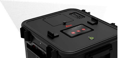
As Simple As A Touch
Created to transform the workflow for reality capture professionals, the control unit allows you to go straight from data capture to processing on-the-fly, right when you need it. No more time-consuming transcoding, storage overhead, or errors during data transfer.
Works While You Rest
Keep moving and deliver on time. Launch 3D data pre-processing with a single touch to ensure the system works as you travel back to the office.
All In Your Hands
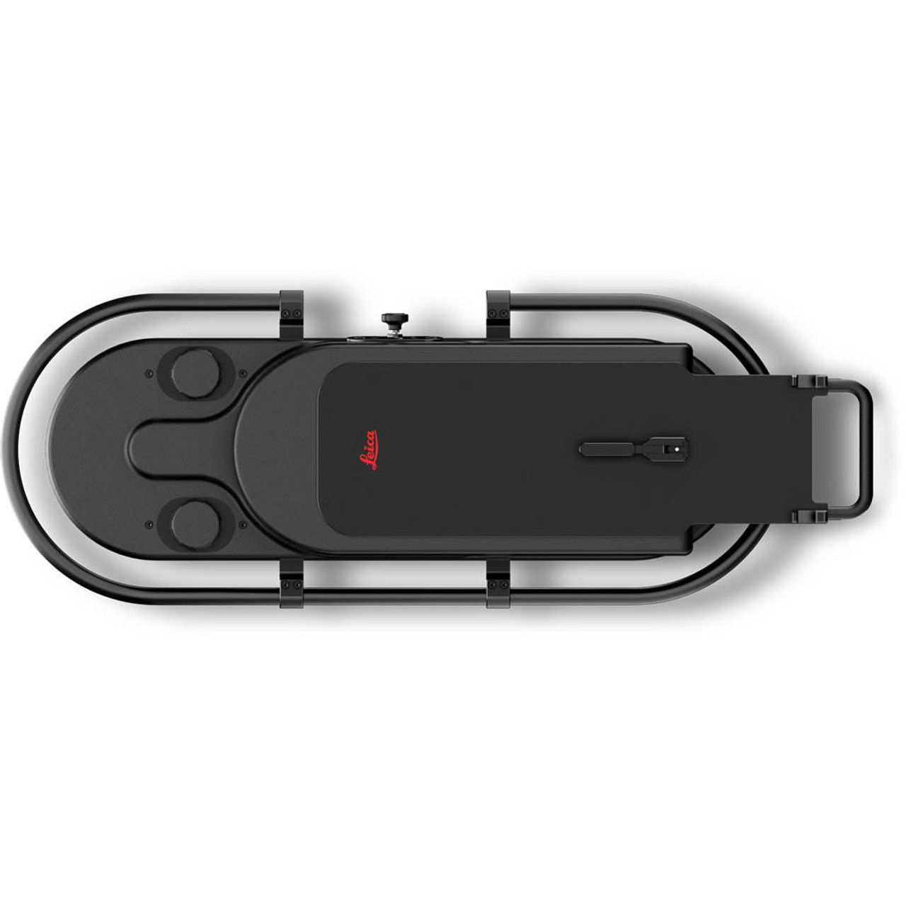
Data logistics are simplified. Add storage on-the-fly or share performed missions with colleagues, the data is safely stored in a ruggedised case.
Leica Pegasus FIELD
Doing It All. In All New Ways.
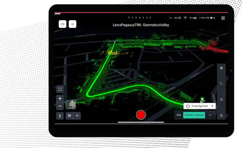
Plan in advance with pre-set features and profiles that simplify system initialisation to data delivery. Intelligent routing means you travel the most efficient data collection journey, with sensors that trigger autonomously, so no details are missed.
Confidence. From The First Click.
Surprises belong in the past. Pegasus FIELD predicts the time required for planned missions, and storage and battery capacity needed to perform the job. Real-time notifications keep you up-to-date, with a live in-field view of data acquisition highlighted on the pre-downloaded base map.
Plan. Capture. Deliver.
Guided project set-up automates the mission planning and data collection process, so you complete and deliver projects in less time, reducing project costs and increasing overall efficiency.
Leica Cyclone Pegasus OFFICE
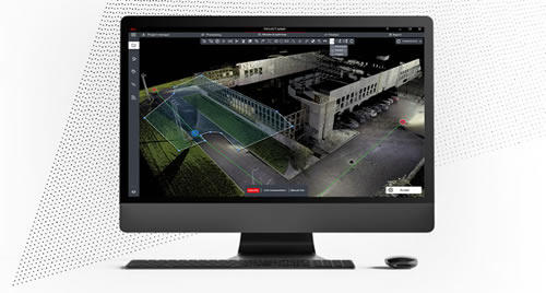
Seamless Data Flow
Seamless data flow into Leica Cyclone processing and publishing workflows, with full support for mobile mapping-relevant information. Automatically refined data with precision geo-referencing and multi-pass trajectory adjustment, point clouds enriched with photo-realistic texture.
Guided Workflows, Intuitive Tools.
Simplified processing with suggested profiles to transform raw data into high-quality deliverables. AI-based segmentation delivers automation and time savings in asset collection. Access processing tools directly in the Leica Pegasus TRK Control Unit to save time.
High Precision Processing
Quality assurance with built-in intelligence. Point cloud analysis detects reference targets automatically. Uses all available positioning observations to reliably geo-reference data and efficiently densify base-station distributions whenever necessary.
