Product Description
The combination of the DISTO X6 and the Leica DST 360-X Adapter enables P2P Technology, which means distances between any two points or complex areas can be measured from a safe location, even in inaccessible areas. Afterwards, the results can be downloaded as perfectly organised DXF files and further processed in any CAD software. Visualisation of the data in the DISTO Plan app is also possible directly on site, allowing you to see immediately if any measurement points are still missing. This supports the digitalisation process, shortens workflows, saves money and avoids errors.
Measurement Data in CAD Format
All measured points can be saved in DXF format as a floor plan or wall layout (2D DXF file) or as a 3D model (3D DXF file) on the DISTO X6 and downloaded via the USB interface for further processing in CAD applications. Photos are also saved for each measured point, allowing the measured points to be checked at a later date.
Measuring Inaccessible Areas – P2P Technology
Depending on the required result, different measurement functions are available. If it is only the distance between two points being determined, the simple P2P measurement is sufficient. The levelled P2P measurement additionally indicates the height difference, the horizontal distance and the inclination between the two measuring points.
Referencing POI's – P2L Function
Point-to-Line Measurements can be used to determine a position relative to a reference line. This function is useful to document and find points in a local coordinate system. An example of a useful application is to measure a manhole relative to the side of a building. This makes it possible to find the position of this manhole later if it is covered by a layer of topsoil. To do this, use the same function but in tracking mode.
Measure Complex Shapes
With P2P Technology, the area and circumference of horizontal, vertical and even sloped surfaces can be conveniently measured from one location. This allows you to quickly and easily measure roofs, facades or complex floor plans to determine material requirements, for example. By using the plus and minus calculation functions, even complex roof geometries with cross gables or dormers can be determined.
Advanced Functionality and Visualisation
With the Leica DISTO Plan app, measurement results can be easily documented and visualised in 2D and 3D. For example, it is possible to create detailed floor and wall plans – including openings for doors and windows. Volume measurements are also possible, such as calculating the volume of an excavation with the "Earthworks" function. "Measure 3D" can be used to measure any complex geometry, even from multiple locations using the new relocation function.
In The Box
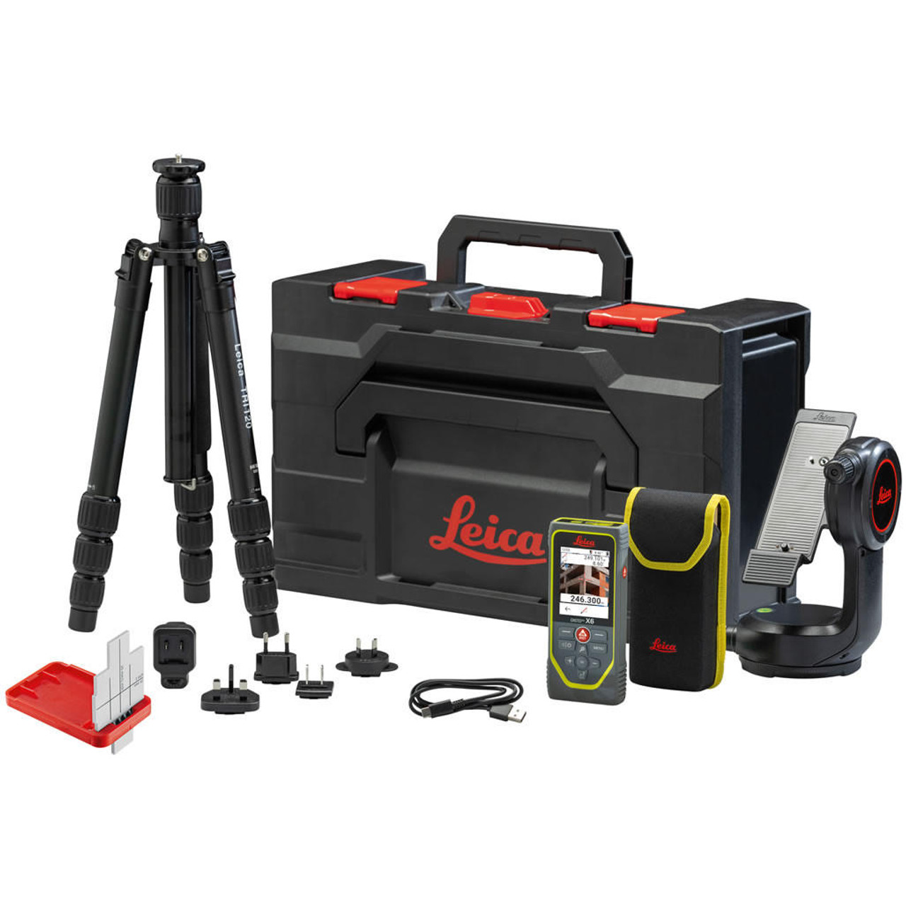
Leica DISTO X6
Hand Loop
Pouch
Charger Including 4 Different Plugs & USB-C Charging Cable
Leica DST360-X Adapter
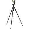
Leica TRI 120 Tripod
Leica GZM3 Target Plate
Carry Case
Safety Instructions
Calibration Certificate Silver
Quick Start with QR Code Linking to Online Manual
3 Years Warranty Card
| Technical Data | |
| Typ. distance measuring accuracy | ± 1.0mm |
| Range | 0.05 up to 250m |
| Measuring units | m, ft, in |
| X-Range Power Technology |
yes |
|
Distance in m Ø of the laser dot in mm |
10, 50, 100m 6, 30, 60mm |
| Tolerance P2P function at distances | ± 5mm / 5m | ± 10mm / 10m |
| Tilt sensor | yes |
| Tilt sensor accuracy to the laser beam | ± 0.2° |
| Tilt sensor accuracy to the housing | ± 0.2° |
| Units in the tilt sensor | 0.0°, 0.00% |
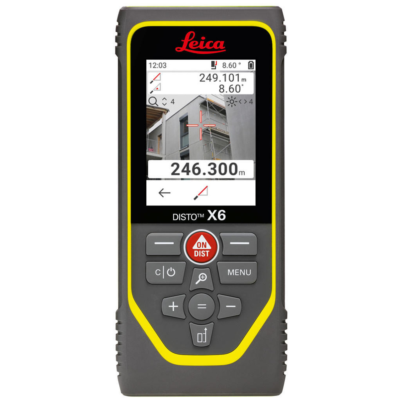
| Pointfinder with zoom | 4x |
| Memory for last measurements | 50 |
| Display illumination | yes |
| Free software for Windows | yes |
| Free App for iOS and Android | yes |
| General data interface | Bluetooth® Smart v5.0 |
| Measurements per set of batteries | up to 4,000* |
| Service life of batteries | up to 8h* |
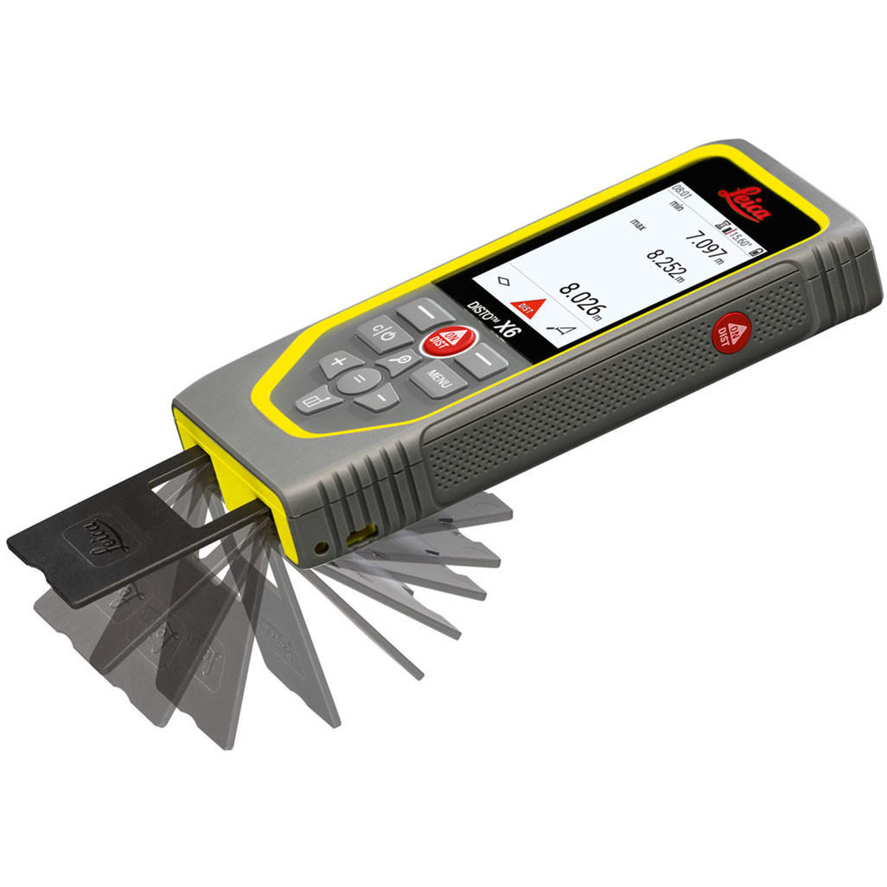
| Multifunctional endpiece | yes |
| Automatic reference detection for endpiece | yes |
| Tripod thread | 1/4" |
| Batteries | Li-Ion Rechargeable |
| Protection class | IP65 (dust tight & jet water protected) |
| 2m drop tested "applies to the DISTO device" | yes |
| Dimensions | 154 × 68 × 25mm |
| Weight | 230g |
*Reduced when used with Bluetooth®
Product Videos
Videos Hide Videos Show Videos
-

Leica DISTO™ X6 - How to measure 3D from multiple locations? 3D measurements made easy (2024)
Leica DISTO™ X6 - How to measure 3D from multiple locations? B...
-

Leica DISTO™ X6 - How to measure Point-to-Line? Finding invisible landmark (2024)
Leica DISTO™ X6 - How to measure PTL? Best measuring tool for ...
-

Leica DISTO™ X6 - How to measure Point-to-Point? Best measuring tool for inaccessible objects (2024)
Leica DISTO™ X6 - How to measure P2P? Best measuring tool from...
-

Laser distance meter Leica DISTO™ X6 - Robust and Versatile
The Leica DISTO™ X6 with its extremely robust housing, IP65 pr...
-

Leica DISTO™ X6 - How to use data capture in DXF? Measure CAD data (2024)
Leica DISTO™ X6 - How to use data capture in DXF? Best measur...
-

Leica DISTO™ Plan App - How to use Sketch Plan
Create a sketch on your smartphone or tablet and then assign d...


